
1957 Map of Lobo Springs
USGS Topo · Published 1959About this map
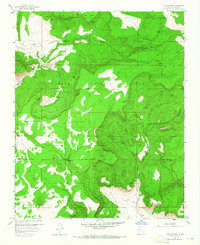
Cibola National Forest and the northern reaches of the Acoma Pueblo Indian Land dominate this high-desert landscape in the late 1950s. The terrain is defined by dramatic geological features such as La Jara Mesa and the San Mateo Mountains, which are dissected by deep canyons like Lobo Canyon and Rinconada Canyon. Water is the primary driver of human activity here, evidenced by a dense network of named water sources including Lobo Springs, Telephone Spring, and De Armand Spring.
Find a feature on this map
36 named features on this map. Tap any name to fly to it.
Don’t see what you’re looking for? This feature index may not catch every label — zoom into the map to look around manually.
Map Details
Editions of this 1957 Lobo Springs Map
Other maps of this area

1883 · Mt. Taylor
USGS Topo · 1:250,000

1886 · Mt. Taylor
USGS Topo · 1:250,000

1892 · Mt. Taylor
USGS Topo · 1:250,000

1899 · Mt. Taylor
USGS Topo · 1:250,000

1957 · Mount Taylor
USGS Topo · 1:24,000

1957 · Dos Lomas
USGS Topo · 1:24,000

1957 · Grants SE
USGS Topo · 1:24,000

1957 · Mc Cartys
USGS Topo · 1:24,000

1957 · Cubero
USGS Topo · 1:24,000
1957 · Grants
USGS Topo · 1:24,000