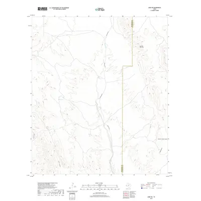
2019 Map of Lobo SW
USGS Topo · Published 2019About this map
The Van Horn Mountains dominate the eastern landscape of this West Texas terrain, marking the divide between Hudspeth and Culberson counties. This high-desert region is defined by a complex network of drainage systems, including the north-south corridor of the Green River, which is paralleled by Green River Rd. These ephemeral watercourses have carved distinct geographic markers across the map, from the deep cuts of Eagle Canyon and Echo Canyon in the west to Hammer Handle Canyon and China Canyon in the east.
Find a feature on this map
10 named features on this map. Tap any name to fly to it.
Don’t see what you’re looking for? This feature index may not catch every label — zoom into the map to look around manually.
Map Details
Editions of this 2019 Lobo SW Map
This is the sole edition of this map. No revisions or reprints were ever made.
Other maps of this area

1892 · Chispa
USGS Topo · 1:125,000

1895 · Chispa
USGS Topo · 1:125,000

1897 · Eagle Mountain
USGS Topo · 1:125,000

1897 · Chispa
USGS Topo · 1:125,000

1916 · Eagle Mountain
USGS Topo · 1:125,000

1959 · Marfa
USGS Topo · 1:250,000

1965 · Marfa
USGS Topo · 1:250,000
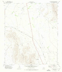
1972 · Van Horn Wells
USGS Topo · 1:24,000
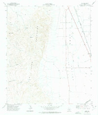
1972 · Lobo
USGS Topo · 1:24,000
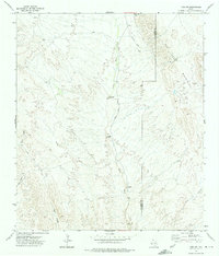
1972 · Lobo SW
USGS Topo · 1:24,000