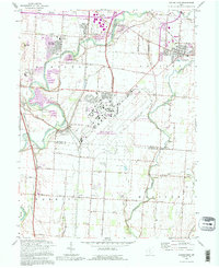
1992 Map of Lockbourne
USGS Topo · Published 1995About this map
Rickenbacker Air National Guard Base dominates the central landscape of this southern Ohio survey, reflecting the region's significant military aviation role. To the west, the Scioto River and Big Walnut Creek converge near the historic settlement of Lockbourne, where traces of the Ohio Canal remain visible alongside the modern landscape. The map captures a transition from suburban expansion near Hamilton Meadows and Groveport to the agricultural reaches of Duvall and the Scioto Valley Grange in the south.
Find a feature on this map
55 named features on this map. Tap any name to fly to it.
Don’t see what you’re looking for? This feature index may not catch every label — zoom into the map to look around manually.
Map Details
Editions of this 1992 Lockbourne Map
This is the sole edition of this map. No revisions or reprints were ever made.
Other maps of this area

1911 · Era
USGS Topo · 1:62,500

1913 · Era
USGS Topo · 1:62,500

1914 · Circleville
USGS Topo · 1:62,500

1923 · West Columbus
USGS Topo · 1:62,500

1925 · East Columbus
USGS Topo · 1:62,500

1925 · West Columbus
USGS Topo · 1:62,500

1943 · Era
USGS Topo · 1:62,500

1943 · Circleville
USGS Topo · 1:62,500

1943 · East Columbus
USGS Topo · 1:62,500

1947 · Columbus
USGS Topo · 1:250,000