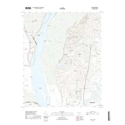
2019 Map of Locke
USGS Topo · Published 2019About this map
The Mississippi River defines the western edge of this landscape, separating Tennessee from Arkansas through a complex network of chutes and islands. Brandywine Island and Beef Island dominate the river corridor, while remnants of older channels are visible in features like the Chute of Island Thirty-nine and Old Brandywine Chute. East of the river, the terrain rises sharply at Chickasaw Bluff Number Three, where the settlements of Giles Town and Locke are situated.
Find a feature on this map
105 named features on this map. Tap any name to fly to it.
Don’t see what you’re looking for? This feature index may not catch every label — zoom into the map to look around manually.
Map Details
Editions of this 2019 Locke Map
This is the sole edition of this map. No revisions or reprints were ever made.
Other maps of this area

1916 · Memphis
USGS Topo · 1:62,500

1925 · Memphis
USGS Topo · 1:48,000

1927 · Memphis
USGS Topo · 1:62,500

1931 · Jericho
USGS Topo · 1:62,500
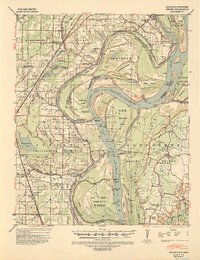
1939 · Jericho
USGS Topo · 1:62,500
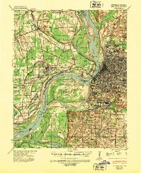
1939 · Memphis
USGS Topo · 1:62,500
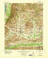
1942 · Millington
USGS Topo · 1:62,500
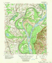
1952 · Jericho
USGS Topo · 1:62,500

1953 · Memphis
USGS Topo · 1:250,000
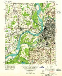
1955 · Memphis
USGS Topo · 1:62,500