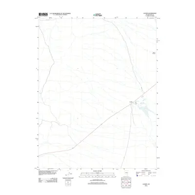
2012 Map of Lockes
USGS Topo · Published 2012About this map
Lockes serves as a small anchor point in the arid high-desert landscape of central Nevada, situated along a primary transportation route that cuts diagonally across the basin. The settlement is defined by its proximity to several vital water sources, including Big Spring and North Spring, which likely supported the early ranching operations evident on this 2012 survey. Nearby, the Titus Ranch indicates the persistent thread of private land use and agriculture in an otherwise sparsely populated region.
Find a feature on this map
8 named features on this map. Tap any name to fly to it.
Don’t see what you’re looking for? This feature index may not catch every label — zoom into the map to look around manually.
Map Details
Editions of this 2012 Lockes Map
This is the sole edition of this map. No revisions or reprints were ever made.
Other maps of this area

1956 · Lund
USGS Topo · 1:250,000

1960 · Lund
USGS Topo · 1:250,000

1964 · Blue Eagle Springs
USGS Topo · 1:62,500

1964 · Troy Canyon
USGS Topo · 1:62,500

1968 · Portuguese Mtn
USGS Topo · 1:62,500

1968 · The Wall
USGS Topo · 1:62,500
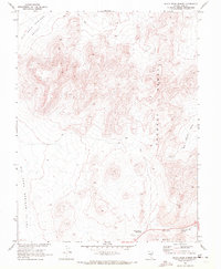
1968 · Black Rock Summit
USGS Topo · 1:24,000

1968 · Portuguese Mtn
USGS Topo · 1:24,000
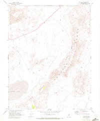
1968 · The Wall
USGS Topo · 1:24,000
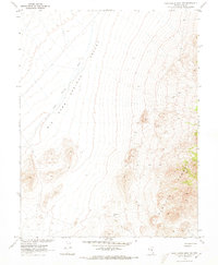
1968 · Portuguese Mtn NW
USGS Topo · 1:24,000