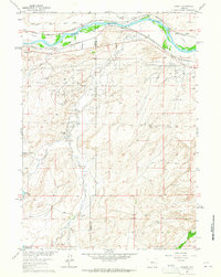
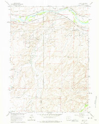
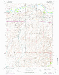
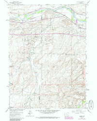
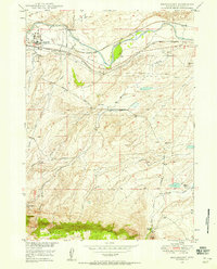
1961 Map of Lockett
USGS Topo · Published 1965About this map
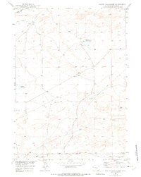
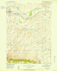
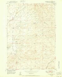
Big Muddy Oil Field and the Brooks Ranch Oil Field dominate the mid-century landscape of this Converse and Natrona County borderland. Published as part of the Missouri River Basin development program, the map details a sophisticated network of energy infrastructure, including numerous Oil Wells, Drill Holes, and a sprawling system of pipelines. The industrial character is balanced by long-established agricultural holdings such as the Old Wobble Ranch, Old Altman Ranch, and Milne Ranch.
Find a feature on this map
31 named features on this map. Tap any name to fly to it.
Don’t see what you’re looking for? This feature index may not catch every label — zoom into the map to look around manually.
Map Details
Editions of this 1961 Lockett Map
4 editions found
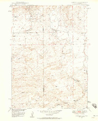
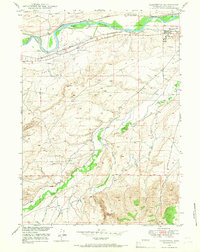
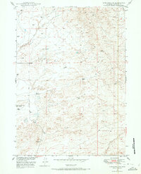
Other maps of this area
1949 · Brookhurst
USGS Topo · 1:24,000
1949 · Campbell Hill
USGS Topo · 1:24,000
1949 · Parkerton
USGS Topo · 1:24,000
1949 · Glenrock NW
USGS Topo · 1:24,000
1949 · Pratts Soda Lakes
USGS Topo · 1:24,000

1950 · Campbell Hill
USGS Topo · 1:24,000

1950 · Lockett
USGS Topo · 1:24,000
1950 · Brookhurst
USGS Topo · 1:24,000

1950 · Parkerton
USGS Topo · 1:24,000
1950 · Glenrock NW
USGS Topo · 1:24,000