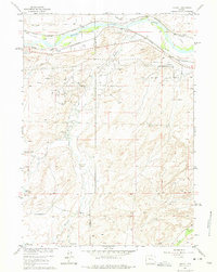
1961 Map of Lockett
USGS Topo · Published 1975About this map
The North Platte River carves across the northern edge of this landscape, flanked by a complex infrastructure of early western transit. The historic Emigrant Trail runs parallel to the river, tracing the same path as the Chicago and North Western and Chicago Burlington and Quincy railroads. This overlap highlights the corridor's enduring importance for migration and commerce in central Wyoming. South of the river, the terrain shifts into the energy-rich lands of the Big Muddy Oil Field and Brooks Ranch Oil Field, where a network of pipelines and wells defines the 20th-century economy. Scattered throughout the drainage basins of Muddy Creek and Clear Creek are several family-named ranching outposts, including the Old Altman Ranch and Lamb Ranch, alongside water management features like the Wagner and Bayer Reservoir and Steed Reservoir.
Find a feature on this map
24 named features on this map. Tap any name to fly to it.
Don’t see what you’re looking for? This feature index may not catch every label — zoom into the map to look around manually.
Map Details
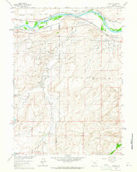
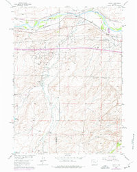
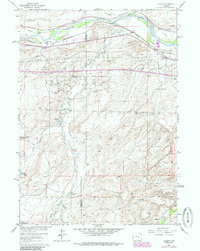
Editions of this 1961 Lockett Map
4 editions found
Other maps of this area

1949 · Brookhurst
USGS Topo · 1:24,000

1949 · Campbell Hill
USGS Topo · 1:24,000

1949 · Parkerton
USGS Topo · 1:24,000

1949 · Glenrock NW
USGS Topo · 1:24,000

1949 · Pratts Soda Lakes
USGS Topo · 1:24,000

1950 · Campbell Hill
USGS Topo · 1:24,000

1950 · Lockett
USGS Topo · 1:24,000

1950 · Brookhurst
USGS Topo · 1:24,000

1950 · Parkerton
USGS Topo · 1:24,000

1950 · Glenrock NW
USGS Topo · 1:24,000