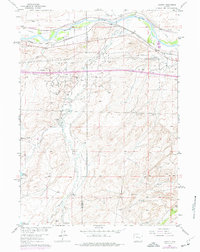
1961 Map of Lockett
USGS Topo · Published 1977About this map
The North Platte River defines the northern edge of this landscape, where the historic Emigrant Trail once guided travelers across the Wyoming plains. By the mid-20th century, the region's economy had shifted from pioneering paths to energy and ranching. The extensive Big Muddy Oil Field and Brooks Ranch Oil Field dominate the central terrain, marked by numerous drill holes and oil wells that trace the development of the state's petroleum industry.
Find a feature on this map
25 named features on this map. Tap any name to fly to it.
Don’t see what you’re looking for? This feature index may not catch every label — zoom into the map to look around manually.
Map Details
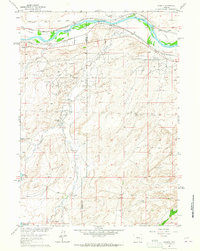
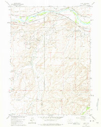
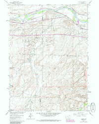
Editions of this 1961 Lockett Map
4 editions found
Other maps of this area

1949 · Brookhurst
USGS Topo · 1:24,000

1949 · Campbell Hill
USGS Topo · 1:24,000

1949 · Parkerton
USGS Topo · 1:24,000

1949 · Glenrock NW
USGS Topo · 1:24,000

1949 · Pratts Soda Lakes
USGS Topo · 1:24,000

1950 · Campbell Hill
USGS Topo · 1:24,000

1950 · Lockett
USGS Topo · 1:24,000

1950 · Brookhurst
USGS Topo · 1:24,000

1950 · Parkerton
USGS Topo · 1:24,000

1950 · Glenrock NW
USGS Topo · 1:24,000