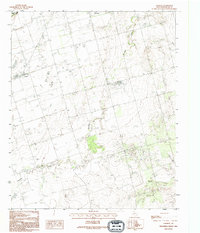
1990 Map of Lockett
USGS Topo · Published 1995About this map
Lockett serves as a central hub for this rural Wilbarger County landscape, captured in a period of agricultural and infrastructural stability. The community is defined by a network of ranch roads and section lines that converge near its residential core, with a local Cemetery and a Sub Station marking the steady development of the late twentieth century. To the northeast, the outskirts of Vernon begin to appear, illustrating the proximity between the small village and the larger county seat.
Find a feature on this map
9 named features on this map. Tap any name to fly to it.
Don’t see what you’re looking for? This feature index may not catch every label — zoom into the map to look around manually.
Map Details
Editions of this 1990 Lockett Map
This is the sole edition of this map. No revisions or reprints were ever made.
Other maps of this area
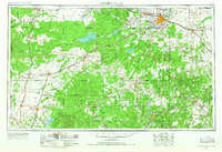
1954 · Wichita Falls
USGS Topo · 1:250,000

1955 · Lawton
USGS Topo · 1:250,000
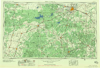
1958 · Wichita Falls
USGS Topo · 1:250,000
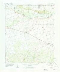
1958 · Davidson
USGS Topo · 1:62,500
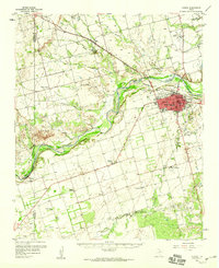
1958 · Vernon
USGS Topo · 1:62,500
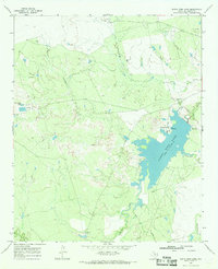
1966 · Santa Rosa Lake
USGS Topo · 1:24,000
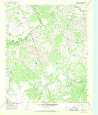
1966 · Grayback
USGS Topo · 1:24,000
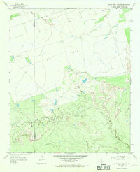
1966 · Santa Rosa Lake NW
USGS Topo · 1:24,000
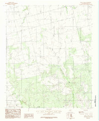
1983 · Boggy Creek
USGS Topo · 1:24,000
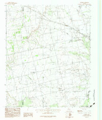
1983 · Tolbert
USGS Topo · 1:24,000