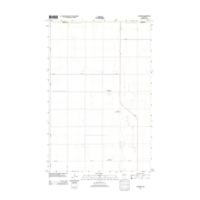
2013 Map of Lockhart
USGS Topo · Published 2013About this map
The small settlement of Lockhart sits at the heart of this agricultural landscape in the Red River Valley, situated along the north-south corridor of Mn-9. This 2013 survey illustrates the highly structured land use of the region, where the flat terrain is divided by a rigid grid of rural roads such as Co Hwy-3 and 240th St. A significant investment in water management is evident through the presence of extensive drainage systems like Judicial Ditch Number Fiftythree and Judicial Ditch Number Fiftytwo, which are essential for maintaining the productivity of the surrounding farmland. Genealogy and local heritage are anchored by well-maintained rural burial grounds, including the German Methodist Cem and the Immanuel Lutheran Cem located further south near 260th Ave. These sites provide a direct link to the ethnic and religious communities that settled this part of Norman County.
Find a feature on this map
15 named features on this map. Tap any name to fly to it.
Don’t see what you’re looking for? This feature index may not catch every label — zoom into the map to look around manually.
Map Details
Editions of this 2013 Lockhart Map
This is the sole edition of this map. No revisions or reprints were ever made.
Other maps of this area

1918 · Twin Valley
USGS Topo · 1:62,500

1919 · Beltrami
USGS Topo · 1:62,500

1924 · Ada
USGS Topo · 1:62,500

1952 · Grand Forks
USGS Topo · 1:250,000

1956 · Grand Forks
USGS Topo · 1:250,000

1964 · Beltrami
USGS Topo · 1:24,000

1964 · Beltrami SW
USGS Topo · 1:24,000

1965 · Lockhart
USGS Topo · 1:24,000

1965 · Melvin
USGS Topo · 1:24,000

1965 · Anthony
USGS Topo · 1:24,000