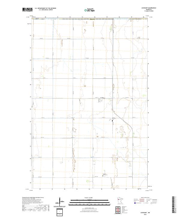
2022 Map of Lockhart
USGS Topo · Published 2022About this map
Lockhart stands as the central settlement in this portion of Norman County, characterized by its strictly organized grid of agricultural sections and township boundaries. The landscape is defined by its drainage infrastructure, most notably the Judicial Ditch Number Fifty-two which runs along the northern edge of the map. This survey reveals a deeply rooted rural community, where local history is preserved at sites like the German Methodist Cem and the Immanuel Lutheran Cem. A dense network of county roads, including Co Rd 18 and Co Rd 115, connects the various farmsteads and agricultural plots, illustrating the systematic development of the Red River Valley region.
Find a feature on this map
33 named features on this map. Tap any name to fly to it.
Don’t see what you’re looking for? This feature index may not catch every label — zoom into the map to look around manually.
Map Details
Editions of this 2022 Lockhart Map
This is the sole edition of this map. No revisions or reprints were ever made.
Other maps of this area

1918 · Twin Valley
USGS Topo · 1:62,500

1919 · Beltrami
USGS Topo · 1:62,500

1924 · Ada
USGS Topo · 1:62,500

1952 · Grand Forks
USGS Topo · 1:250,000

1956 · Grand Forks
USGS Topo · 1:250,000

1964 · Beltrami
USGS Topo · 1:24,000

1964 · Beltrami SW
USGS Topo · 1:24,000

1965 · Lockhart
USGS Topo · 1:24,000

1965 · Melvin
USGS Topo · 1:24,000

1965 · Anthony
USGS Topo · 1:24,000