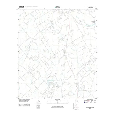
2010 Map of Lockhart South
USGS Topo · Published 2010About this map
The small settlement of Joliet serves as a focal point for this rural landscape southeast of Lockhart, where agricultural land meets industrial utility. The southern portion of the map is defined by the Luling Oil Field, highlighting the region's long-standing reliance on petroleum extraction. Water management is a dominant theme of the local terrain, as evidenced by several managed water bodies including the Soil Conservation Service Site 37 Reservoir and its accompanying Site 37 Dam.
Find a feature on this map
56 named features on this map. Tap any name to fly to it.
Don’t see what you’re looking for? This feature index may not catch every label — zoom into the map to look around manually.
Map Details
Editions of this 2010 Lockhart South Map
This is the sole edition of this map. No revisions or reprints were ever made.
Other maps of this area

1911 · San Marcos
USGS Topo · 1:125,000

1919 · San Marcos
USGS Topo · 1:125,000

1925 · San Marcos 1-d
USGS Topo · 1:48,000

1925 · San Marcos 4-a
USGS Topo · 1:48,000

1929 · Luling
USGS Topo · 1:62,500

1930 · Lockhart
USGS Topo · 1:62,500

1930 · Seguin
USGS Topo · 1:62,500

1953 · Seguin
USGS Topo · 1:250,000

1958 · Seguin
USGS Topo · 1:250,000

1963 · Lockhart North
USGS Topo · 1:24,000