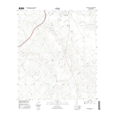
2016 Map of Lockhart South
USGS Topo · Published 2016About this map
The southern outskirts of Lockhart and the rural community of Joliet are the primary focus of this Caldwell County study. The landscape is defined by the dendritic drainage patterns of the W Fork Plum Cr and its many tributaries, including Clear Fork Plum Cr and Pin Oak Cr. This area is particularly rich for genealogical research, documenting numerous family-named burial grounds such as Popps Cem, Harrison Cem, Hall Cem, and Koonsen Cem.
Find a feature on this map
90 named features on this map. Tap any name to fly to it.
Don’t see what you’re looking for? This feature index may not catch every label — zoom into the map to look around manually.
Map Details
Editions of this 2016 Lockhart South Map
This is the sole edition of this map. No revisions or reprints were ever made.
Other maps of this area

1911 · San Marcos
USGS Topo · 1:125,000

1919 · San Marcos
USGS Topo · 1:125,000

1925 · San Marcos 1-d
USGS Topo · 1:48,000

1925 · San Marcos 4-a
USGS Topo · 1:48,000

1929 · Luling
USGS Topo · 1:62,500

1930 · Lockhart
USGS Topo · 1:62,500

1930 · Seguin
USGS Topo · 1:62,500

1953 · Seguin
USGS Topo · 1:250,000

1958 · Seguin
USGS Topo · 1:250,000

1963 · Lockhart North
USGS Topo · 1:24,000