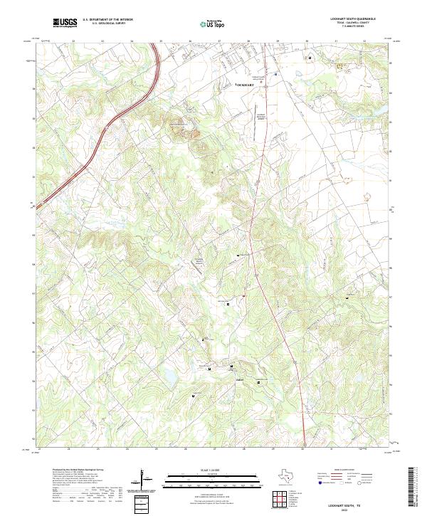
2022 Map of Lockhart South
USGS Topo · Published 2022About this map
Lockhart anchors the northern reaches of this Caldwell County landscape, where the town’s residential streets give way to a dense network of country roads and family-named cemeteries. The terrain is defined by the branching tributaries of the Clear Fork Plum Cr and the W Fork Plum Cr, creating a rolling agricultural and ranching environment dotted with small aviation hubs like the Lockhart Municipal Airport and Someday Ranch Airport.
Find a feature on this map
97 named features on this map. Tap any name to fly to it.
Don’t see what you’re looking for? This feature index may not catch every label — zoom into the map to look around manually.
Map Details
Editions of this 2022 Lockhart South Map
This is the sole edition of this map. No revisions or reprints were ever made.
Other maps of this area

1911 · San Marcos
USGS Topo · 1:125,000

1919 · San Marcos
USGS Topo · 1:125,000

1925 · San Marcos 1-d
USGS Topo · 1:48,000

1925 · San Marcos 4-a
USGS Topo · 1:48,000

1929 · Luling
USGS Topo · 1:62,500

1930 · Lockhart
USGS Topo · 1:62,500

1930 · Seguin
USGS Topo · 1:62,500

1953 · Seguin
USGS Topo · 1:250,000

1958 · Seguin
USGS Topo · 1:250,000

1963 · Lockhart North
USGS Topo · 1:24,000