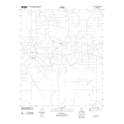
2010 Map of Loco Hills
USGS Topo · Published 2010About this map
Loco Hills stands as the central hub of this landscape, characterized by a dense network of service roads and industrial activity in the Permian Basin. The settlement includes the Loco Hills Post Office and nearby specialized worker enclaves such as Booker Camp and the precisely named North Windfohr and Brown Camp Number 1. This 2010 survey reveals a geography shaped by energy extraction, with the terrain dominated by extensive operations like the Square Lake Oil Field, Greyburg Jackson Oil Field, and the Premier Oil Field.
Find a feature on this map
25 named features on this map. Tap any name to fly to it.
Don’t see what you’re looking for? This feature index may not catch every label — zoom into the map to look around manually.
Map Details
Editions of this 2010 Loco Hills Map
This is the sole edition of this map. No revisions or reprints were ever made.
Other maps of this area

1942 · Clayton Basin
USGS Topo · 1:62,500

1943 · Clayton Basin
USGS Topo · 1:62,500

1943 · Oil City
USGS Topo · 1:62,500

1953 · Basin Well
USGS Topo · 1:24,000

1954 · Carlsbad
USGS Topo · 1:250,000

1954 · Hobbs
USGS Topo · 1:250,000

1955 · Red Lake SE
USGS Topo · 1:24,000

1958 · Carlsbad
USGS Topo · 1:250,000

1958 · Hobbs
USGS Topo · 1:250,000

1963 · Maljamar
USGS Topo · 1:62,500