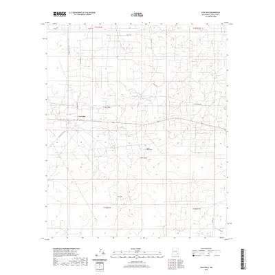
2020 Map of Loco Hills
USGS Topo · Published 2020About this map
Loco Hills sits at the center of this high-desert landscape in Eddy County, defined by a complex network of oil and ranching access roads. The settlement is anchored by a local Po (Post Office) along the primary east-west highway, serving as a hub for the surrounding Permian Basin activity. The terrain is marked by significant natural depressions and drainage patterns, most notably the wide expanse of Cedar Lake and the nearby Cedar Lake-Draw. To the south, the Cedar Breaks provide a distinct topographical shift in an otherwise subtly undulating landscape. The map reveals the modern infrastructure of the region through named thoroughfares such as Hagerman Cutoff Rd and Mallett Rd, which cut across the township and range sections of the Public Land Survey System.
Find a feature on this map
19 named features on this map. Tap any name to fly to it.
Don’t see what you’re looking for? This feature index may not catch every label — zoom into the map to look around manually.
Map Details
Editions of this 2020 Loco Hills Map
This is the sole edition of this map. No revisions or reprints were ever made.
Other maps of this area

1942 · Clayton Basin
USGS Topo · 1:62,500

1943 · Clayton Basin
USGS Topo · 1:62,500

1943 · Oil City
USGS Topo · 1:62,500

1953 · Basin Well
USGS Topo · 1:24,000

1954 · Carlsbad
USGS Topo · 1:250,000

1954 · Hobbs
USGS Topo · 1:250,000

1955 · Red Lake SE
USGS Topo · 1:24,000

1958 · Carlsbad
USGS Topo · 1:250,000

1958 · Hobbs
USGS Topo · 1:250,000

1963 · Maljamar
USGS Topo · 1:62,500