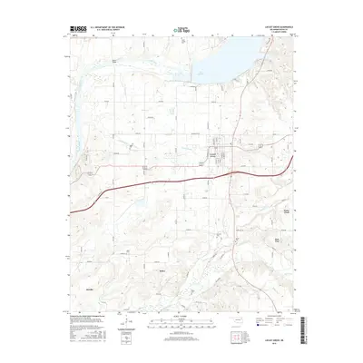
2016 Map of Locust Grove
USGS Topo · Published 2016About this map
Locust Grove serves as the central hub of this 2016 survey, where modern thoroughfares like e0570 RD meet local streets including Wyandotte ST and Broadway ST. The landscape is defined by the expansive Lake Hudson to the north, fed by the Neosho River, and the southern transition into more dispersed rural settlements. Numerous small family or community burial sites are scattered across the terrain, reflecting the deep-rooted genealogy of Mayes County.
Find a feature on this map
74 named features on this map. Tap any name to fly to it.
Don’t see what you’re looking for? This feature index may not catch every label — zoom into the map to look around manually.
Map Details
Editions of this 2016 Locust Grove Map
This is the sole edition of this map. No revisions or reprints were ever made.
Other maps of this area

1896 · Pryor
USGS Topo · 1:125,000

1901 · Pryor
USGS Topo · 1:125,000

1954 · Tulsa
USGS Topo · 1:250,000

1958 · Tulsa
USGS Topo · 1:250,000

1963 · Tulsa
USGS Topo · 1:250,000
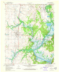
1970 · Chouteau
USGS Topo · 1:24,000
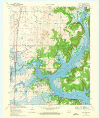
1970 · Rocky Point
USGS Topo · 1:24,000
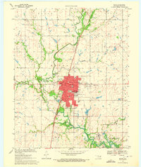
1970 · Pryor
USGS Topo · 1:24,000
1971 · Salina
USGS Topo · 1:24,000
1971 · Salina SE
USGS Topo · 1:24,000