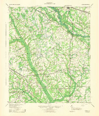
1943 Map of Lodge
USGS Topo · Published 1943About this map
The Salkehatchie River and Edisto River carve through a landscape defined by extensive wetlands and family-named landmarks during the early 1940s. This region at the borders of Orangeburg, Bamberg, Dorchester, and Colleton Counties reveals a dispersed rural society centered on small schoolhouses and churches, such as McIlhenny Sch and Hunters Chapel. The swampy terrain is broken by numerous bays, including Piney Bay and Hog Bay, which dictated the early settlement patterns and road placements long before modern drainage changed the local geography.
Find a feature on this map
54 named features on this map. Tap any name to fly to it.
Don’t see what you’re looking for? This feature index may not catch every label — zoom into the map to look around manually.
Map Details
Editions of this 1943 Lodge Map
This is the sole edition of this map. No revisions or reprints were ever made.
Other maps of this area
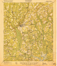
1918 · Walterboro
USGS Topo · 1:62,500
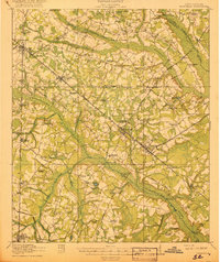
1918 · Varnville
USGS Topo · 1:62,500
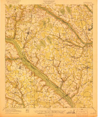
1919 · Olar
USGS Topo · 1:62,500
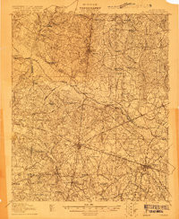
1919 · Bamberg
USGS Topo · 1:48,000
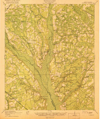
1919 · Cummings
USGS Topo · 1:62,500
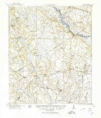
1919 · Lodge
USGS Topo · 1:62,500
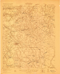
1920 · Bowman
USGS Topo · 1:48,000
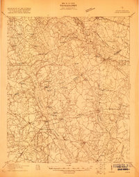
1920 · Lodge
USGS Topo · 1:48,000
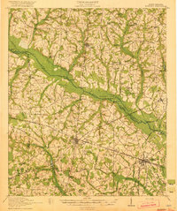
1920 · Bamberg
USGS Topo · 1:62,500
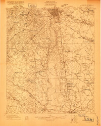
1920 · Orangeburg
USGS Topo · 1:48,000