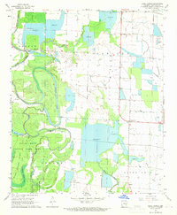
1968 Map of Lodge Corner
USGS Topo · Published 1969About this map
Bayou Meto and an intricate network of waterways dominate this Arkansas County landscape, reflecting the delta's reliance on managed water systems and diverse drainage. The area is defined by oxbow features like Benson Lake and Horseshoe Lake, alongside numerous Reservoir developments that support the local agricultural economy. Small community centers such as Lodge Corner and Hagler serve as anchors in a landscape largely dedicated to the Bayou Meto State Game Area. Local history is preserved through landmarks like Youngblood Bridge and several country churches, including Jesus Name Ch and Brewer Ch, while the Bayless Cem stands as a quiet marker of the region's rural families. The map illustrates the transition from the winding natural bayous like King Bayou and Kaney Bayou to the straight-line logic of modern field boundaries and flumes.
Find a feature on this map
23 named features on this map. Tap any name to fly to it.
Don’t see what you’re looking for? This feature index may not catch every label — zoom into the map to look around manually.
Map Details
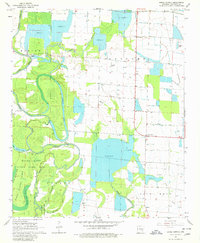
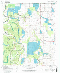
Editions of this 1968 Lodge Corner Map
3 editions found
Other maps of this area

1935 · Varner
USGS Topo · 1:62,500

1935 · Gillett
USGS Topo · 1:62,500

1941 · De Witt
USGS Topo · 1:62,500

1941 · Goldman
USGS Topo · 1:62,500

1948 · Helena
USGS Topo · 1:250,000

1950 · Helena
USGS Topo · 1:250,000

1954 · De Witt
USGS Topo · 1:62,500

1955 · Helena
USGS Topo · 1:250,000

1959 · Helena
USGS Topo · 1:250,000

1960 · Helena
USGS Topo · 1:250,000