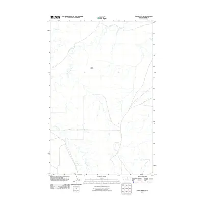
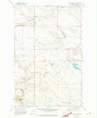
2011 Map of Lodge Pole NE
USGS Topo · Published 2011About this map
Peoples Creek and its tributary, the South Fork Peoples Creek, weave through the northern reaches of this landscape in the Lodge Pole District. The terrain is marked by the prominent height of Black Butte, a focal point in an area otherwise defined by the winding drainages of the Lodge Pole Creek system further south. This 2011 survey illustrates the sparse but critical transportation network of the region, anchored by 3 Buttes Rd and Indian Hwy 8. These routes follow the natural contours of the land, providing essential connectivity across the drainage basins. The map reflects a landscape where water and topography dictate the placement of human infrastructure, a common pattern in the high plains and foothills of Blaine County.
Find a feature on this map
6 named features on this map. Tap any name to fly to it.
Don’t see what you’re looking for? This feature index may not catch every label — zoom into the map to look around manually.
Map Details
Editions of this 2011 Lodge Pole NE Map
This is the sole edition of this map. No revisions or reprints were ever made.
Other maps of this area

1953 · Havre
USGS Topo · 1:250,000

1957 · Havre
USGS Topo · 1:250,000

1958 · Havre
USGS Topo · 1:250,000

1964 · Weigand Reservoir
USGS Topo · 1:24,000

1971 · Lodge Pole NW
USGS Topo · 1:24,000

1971 · Lodge Pole NE
USGS Topo · 1:24,000
1971 · Stiffarm Coulee
USGS Topo · 1:24,000
1971 · Lodge Pole
USGS Topo · 1:24,000
1971 · Bigby Lake
USGS Topo · 1:24,000
1971 · Wild Horse Butte
USGS Topo · 1:24,000