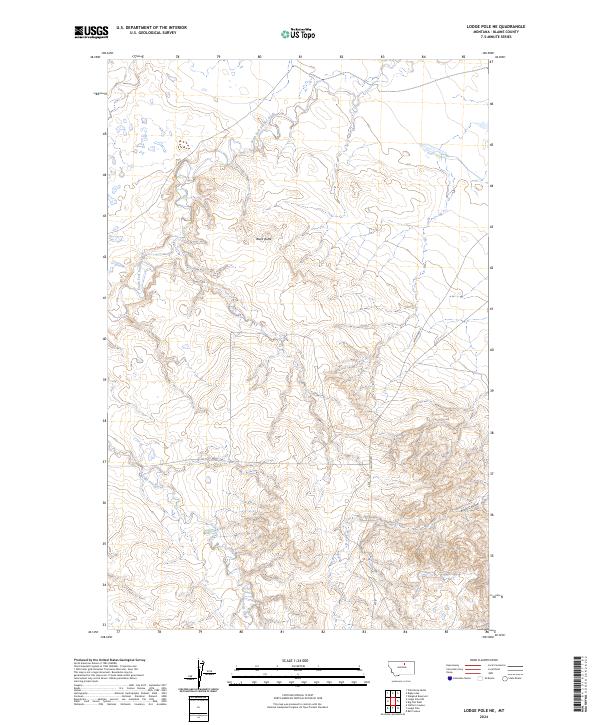
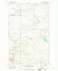
2024 Map of Lodge Pole NE
USGS Topo · Published 2024About this map
Black Butte stands as a prominent topographic landmark in this section of Blaine County, overlooking a landscape defined by seasonal drainages and high plains ranching country. The northern portion of the quadrangle is bisected by South Fork Peoples Creek, while Lodge Pole Creek winds through the southern townships, reflecting the essential water-security patterns of the northern Montana prairie. Transport across these expanses is facilitated by Indian Hwy 8 and Rte 8, which provide connectivity through the Public Land Survey System grids of T28N and T29N. Deeply incised features like Wolf Coulee characterize the southeast, illustrating the erosional forces that have shaped the territory into its present-day form.
Find a feature on this map
12 named features on this map. Tap any name to fly to it.
Don’t see what you’re looking for? This feature index may not catch every label — zoom into the map to look around manually.
Map Details
Editions of this 2024 Lodge Pole NE Map
This is the sole edition of this map. No revisions or reprints were ever made.
Other maps of this area

1953 · Havre
USGS Topo · 1:250,000

1957 · Havre
USGS Topo · 1:250,000

1958 · Havre
USGS Topo · 1:250,000

1964 · Weigand Reservoir
USGS Topo · 1:24,000

1971 · Lodge Pole NW
USGS Topo · 1:24,000

1971 · Lodge Pole NE
USGS Topo · 1:24,000
1971 · Stiffarm Coulee
USGS Topo · 1:24,000
1971 · Lodge Pole
USGS Topo · 1:24,000
1971 · Bigby Lake
USGS Topo · 1:24,000
1971 · Wild Horse Butte
USGS Topo · 1:24,000