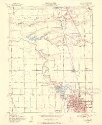
1953 Map of Lodi North
USGS Topo · Published 1954About this map
The Mokelumne River meanders through this agricultural corridor, defining the geography between Galt and northern Lodi. The landscape is a patchwork of rural infrastructure and emerging industry, where the Southern Pacific railroad parallels the main roads, connecting smaller sidings and settlements like Jahant and Acampo. In the southern portion of the map, the city of Lodi is shown in significant detail, featuring landmarks such as the Grape Festival Buildings, Municipal Stadium, and numerous educational institutions like St Annes Academy and Union High Sch.
Find a feature on this map
54 named features on this map. Tap any name to fly to it.
Don’t see what you’re looking for? This feature index may not catch every label — zoom into the map to look around manually.
Map Details
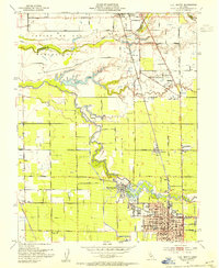
Editions of this 1953 Lodi North Map
2 editions found
Other maps of this area

1894 · Lodi
USGS Topo · 1:125,000

1908 · Waterloo
USGS Topo · 1:31,680

1908 · Lockeford
USGS Topo · 1:31,680

1909 · Clay
USGS Topo · 1:31,680

1910 · New Hope
USGS Topo · 1:31,680

1910 · Castle
USGS Topo · 1:31,680

1910 · Woodbridge
USGS Topo · 1:31,680

1910 · Bruceville
USGS Topo · 1:31,680

1910 · Headreach
USGS Topo · 1:31,680

1910 · Galt
USGS Topo · 1:31,680