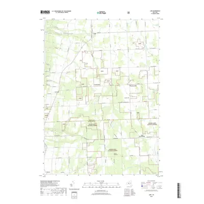
2019 Map of Lodi
USGS Topo · Published 2019About this map
Lodi and its surrounding hamlets occupy the high ground between the Finger Lakes, where the landscape is defined by the deep incisions of Mill Cr and its tributaries. The northern reaches of the Finger Lakes National Forest dominate the central and southern portions of the map, preserving a patchwork of woodland and former agricultural fields. These public lands are interspersed with family-named landmarks like Butcher Hill and the prominent Hector Backbone ridge.
Find a feature on this map
95 named features on this map. Tap any name to fly to it.
Don’t see what you’re looking for? This feature index may not catch every label — zoom into the map to look around manually.
Map Details
Editions of this 2019 Lodi Map
This is the sole edition of this map. No revisions or reprints were ever made.
Other maps of this area

1893 · Ithaca
USGS Topo · 1:62,500

1895 · Ithaca
USGS Topo · 1:62,500

1898 · Watkins Glen
USGS Topo · 1:62,500

1901 · Watkins
USGS Topo · 1:62,500

1902 · Genoa
USGS Topo · 1:62,500

1902 · Ovid
USGS Topo · 1:62,500

1905 · Watkins Glen
USGS Topo · 1:125,000

1942 · Ovid
USGS Topo · 1:31,680

1942 · Dundee
USGS Topo · 1:24,000

1942 · Lodi
USGS Topo · 1:24,000