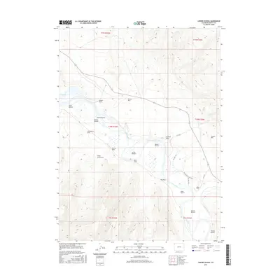
2016 Map of Lodore School
USGS Topo · Published 2016About this map
Lodore School stands as a central landmark in this remote corner of Moffat County, where the Green River carves a complex path through the valley. The landscape is defined by its wide alluvial bottoms and deep draws, including JS Hoy Bottom, Spitzie Bottom, and Warren Bottom, which historically served as vital grounds for ranching and settlement. The transition from the river basin to the surrounding heights is sharp, notably marked by the rise of Douglas Mtn to the east.
Find a feature on this map
33 named features on this map. Tap any name to fly to it.
Don’t see what you’re looking for? This feature index may not catch every label — zoom into the map to look around manually.
Map Details
Editions of this 2016 Lodore School Map
This is the sole edition of this map. No revisions or reprints were ever made.
Other maps of this area

1885 · Ashley
USGS Topo · 1:250,000

1952 · Willow Creek Butte
USGS Topo · 1:24,000

1952 · Swallow Canyon
USGS Topo · 1:24,000

1954 · Lodore School
USGS Topo · 1:24,000

1954 · Canyon of Lodore North
USGS Topo · 1:24,000

1954 · Vernal
USGS Topo · 1:250,000

1958 · Vernal
USGS Topo · 1:250,000

1960 · Vernal
USGS Topo · 1:250,000
1966 · Beaver Basin
USGS Topo · 1:24,000

1966 · Big Joe Basin
USGS Topo · 1:24,000