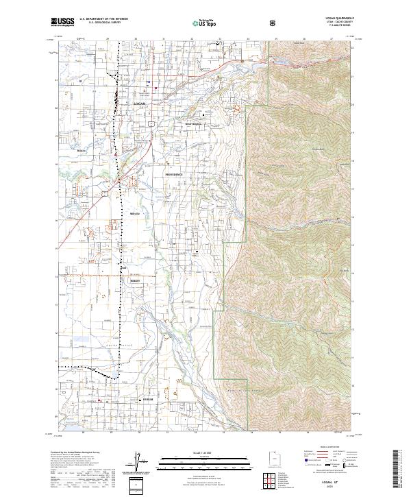
2023 Map of Logan
USGS Topo · Published 2023About this map
Utah State University and the Cache County Court House anchor the urban core of Logan, illustrating the city's role as a regional center of education and government. The landscape transitions sharply from the suburban grids of Providence, River Heights, and Nibley to the steep slopes of the Bear River Range. This interface between irrigation-dependent valley settlements and the high country of the Cache National Forest is defined by a complex network of waterways, including the Logan North Field Canal and Smithfield Canal. To the south, the Hyrum area is shaped by the Hyrum Reservoir and the Blacksmith Fork drainage. The map provides a detailed look at the recreational and agricultural infrastructure of the region, from the Highline Trl in Logan Canyon to the managed flows of the Blacksmith Fork Nibley Canal.
Find a feature on this map
63 named features on this map. Tap any name to fly to it.
Don’t see what you’re looking for? This feature index may not catch every label — zoom into the map to look around manually.
Map Details
Editions of this 2023 Logan Map
This is the sole edition of this map. No revisions or reprints were ever made.
Other maps of this area

1914 · Logan
USGS Topo · 1:125,000

1916 · Logan
USGS Topo · 1:125,000

1954 · Ogden
USGS Topo · 1:250,000

1955 · Paradise
USGS Topo · 1:24,000

1955 · Mount Pisgah
USGS Topo · 1:24,000

1958 · Ogden
USGS Topo · 1:250,000

1960 · Ogden
USGS Topo · 1:250,000

1961 · Logan
USGS Topo · 1:24,000
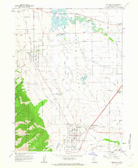
1962 · Wellsville
USGS Topo · 1:24,000
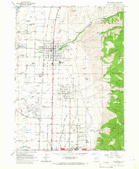
1964 · Smithfield
USGS Topo · 1:24,000