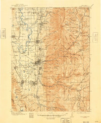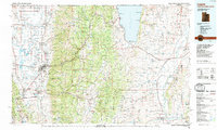
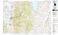
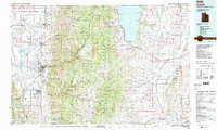
1984 Map of Logan
USGS Topo · Published 1985About this map
Utah State University anchors the city of Logan, situated where the Logan River emerges from the Bear River Range into the broad Cache Valley. This 1984 survey documents the dense corridor of agricultural and residential development along US Highway 91, connecting satellite communities like Smithfield, Hyrum, and Wellsville. To the east, the landscape transitions sharply into the high elevations of the Cache National Forest and Wasatch National Forest, before reaching the shoreline of Bear Lake. Here, lakeside settlements such as Garden City, Pickleville, and Laketown reflect the area's dual role as a productive agricultural hub and a regional recreation destination. Further east across the state boundary into Wyoming, the map tracks the path of the Union Pacific railroad through the Crawford Mountains and along the winding Bear River.
Find a feature on this map
56 named features on this map. Tap any name to fly to it.
Don’t see what you’re looking for? This feature index may not catch every label — zoom into the map to look around manually.
Map Details
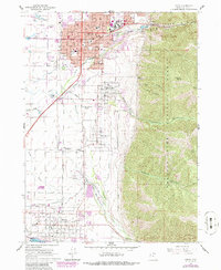
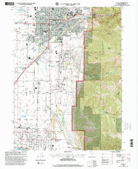
Editions of this 1984 Logan Map
3 editions found
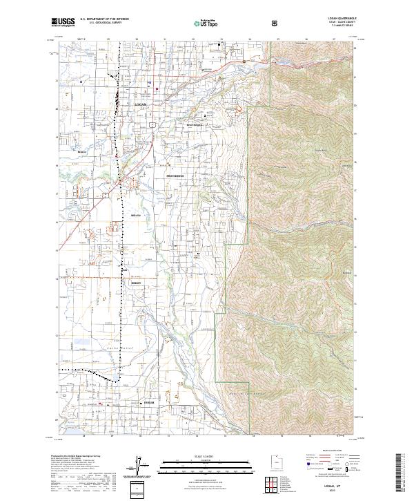
Historical Maps of Logan Through Time
6 maps found