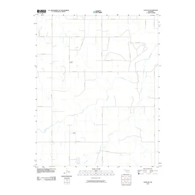
2010 Map of Logan NE
USGS Topo · Published 2010About this map
Kiowa Creek and Camp Creek wind through this corner of the Oklahoma Panhandle, defining a landscape of wide drainages and structured section lines. The topography is largely shaped by these waterways, which dictate the placement of local roads and several rural landmarks. For those researching local family histories, the presence of Fairview Cemetery in the northern portion and Madison Cemetery further south provides concrete points of interest for genealogical study. The road network follows a rigid grid typical of the region's agricultural layout, with primary routes such as N1690 Rd and various numbered hollow roads like Hollow E0210 and Hollow N1650 providing access to the open terrain. This 2010 survey highlights the persistent rural character of Beaver County, where water courses and small burial grounds remain the most prominent features on the land.
Find a feature on this map
24 named features on this map. Tap any name to fly to it.
Don’t see what you’re looking for? This feature index may not catch every label — zoom into the map to look around manually.
Map Details
Editions of this 2010 Logan NE Map
This is the sole edition of this map. No revisions or reprints were ever made.
Other maps of this area

1954 · Perryton
USGS Topo · 1:250,000

1955 · Woodward
USGS Topo · 1:250,000

1958 · Perryton
USGS Topo · 1:250,000

1958 · Woodward
USGS Topo · 1:250,000

1970 · Knowles
USGS Topo · 1:24,000

1970 · Gate
USGS Topo · 1:24,000

1970 · Laverne SW
USGS Topo · 1:24,000

1971 · Logan
USGS Topo · 1:24,000

1971 · Rosston
USGS Topo · 1:24,000

1971 · Logan NW
USGS Topo · 1:24,000