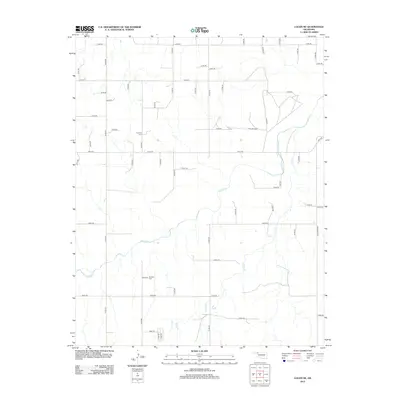
2012 Map of Logan NE
USGS Topo · Published 2012About this map
Kiowa Creek and Camp Creek wind through the high plains of Beaver County in this 2012 survey by the U. S. Geological Survey. The landscape is defined by a dense, systematic grid of section roads, including E0180 Road and N1620 Road, which facilitate the region's agricultural activity. For those researching local family history and genealogy, the map identifies key burial sites such as Fairview Cemetery in the northwestern quadrant and Madison Cemetery to the south. These landmarks, along with the natural drainage patterns of the creeks, provide essential points of reference in an otherwise uniform prairie environment.
Find a feature on this map
47 named features on this map. Tap any name to fly to it.
Don’t see what you’re looking for? This feature index may not catch every label — zoom into the map to look around manually.
Map Details
Editions of this 2012 Logan NE Map
This is the sole edition of this map. No revisions or reprints were ever made.
Other maps of this area

1954 · Perryton
USGS Topo · 1:250,000

1955 · Woodward
USGS Topo · 1:250,000

1958 · Perryton
USGS Topo · 1:250,000

1958 · Woodward
USGS Topo · 1:250,000

1970 · Knowles
USGS Topo · 1:24,000

1970 · Gate
USGS Topo · 1:24,000

1970 · Laverne SW
USGS Topo · 1:24,000

1971 · Logan
USGS Topo · 1:24,000

1971 · Rosston
USGS Topo · 1:24,000

1971 · Logan NW
USGS Topo · 1:24,000