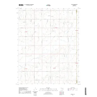
2018 Map of Logan NE
USGS Topo · Published 2018About this map
The rolling plains of Beaver County and Harper County are defined by the winding course of Kiowa Creek and its tributary Camp Creek. This rural landscape is strictly gridded by section roads such as Ew-18 and N1680 Rd, which provide access to the dispersed homesteads and agricultural operations of the Oklahoma Panhandle. Small family and community landmarks like Fairview Cemetery and Madison Cemetery are preserved in the terrain, offering essential connection points for genealogical researchers tracing early settlers in these townships. The map documents a classic Great Plains drainage system where seasonal watercourses like Kiowa Creek have carved a network of hollows—including Hollow E0180 and Hollow N1620—into the high plains surface, dictating the placement of early travel routes and property boundaries.
Find a feature on this map
41 named features on this map. Tap any name to fly to it.
Don’t see what you’re looking for? This feature index may not catch every label — zoom into the map to look around manually.
Map Details
Editions of this 2018 Logan NE Map
This is the sole edition of this map. No revisions or reprints were ever made.
Other maps of this area

1954 · Perryton
USGS Topo · 1:250,000

1955 · Woodward
USGS Topo · 1:250,000

1958 · Perryton
USGS Topo · 1:250,000

1958 · Woodward
USGS Topo · 1:250,000

1970 · Knowles
USGS Topo · 1:24,000

1970 · Gate
USGS Topo · 1:24,000

1970 · Laverne SW
USGS Topo · 1:24,000

1971 · Logan
USGS Topo · 1:24,000

1971 · Rosston
USGS Topo · 1:24,000

1971 · Logan NW
USGS Topo · 1:24,000