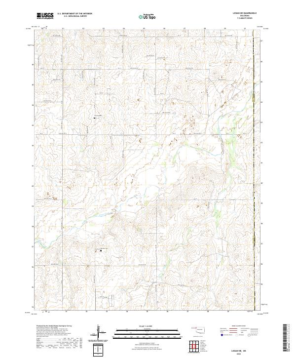
2022 Map of Logan NE
USGS Topo · Published 2022About this map
Kiowa Creek meanders through the high plains of the Oklahoma Panhandle, carving a network of drainage channels across a landscape defined by its section-line roads and remote homestead sites. This 2022 survey documents the rural character of the borderlands between Beaver Co and Harper Co, where the elevation gradually shifts across the arid terrain. Local history and genealogy are anchored by small, isolated burial grounds such as Fairview Cem and Madison Cem, which serve as the primary landmarks in an area otherwise dominated by cattle grazing and ephemeral waterways like Camp Cr. The map reveals the modern grid system of county roads, including Ew-18 and n1680 RD, laid over a terrain marked by numerous named hollows that follow the natural contours of the High Plains ecosystem.
Find a feature on this map
41 named features on this map. Tap any name to fly to it.
Don’t see what you’re looking for? This feature index may not catch every label — zoom into the map to look around manually.
Map Details
Editions of this 2022 Logan NE Map
This is the sole edition of this map. No revisions or reprints were ever made.
Other maps of this area

1954 · Perryton
USGS Topo · 1:250,000

1955 · Woodward
USGS Topo · 1:250,000

1958 · Perryton
USGS Topo · 1:250,000

1958 · Woodward
USGS Topo · 1:250,000

1970 · Knowles
USGS Topo · 1:24,000

1970 · Gate
USGS Topo · 1:24,000

1970 · Laverne SW
USGS Topo · 1:24,000

1971 · Logan
USGS Topo · 1:24,000

1971 · Rosston
USGS Topo · 1:24,000

1971 · Logan NW
USGS Topo · 1:24,000