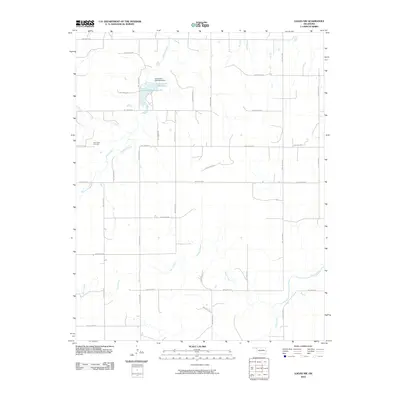
2010 Map of Logan NW
USGS Topo · Published 2010About this map
Clear Lake Cemetery sits at the western edge of this Beaver County landscape, serving as a primary landmark for local genealogical research. The terrain is defined by a series of north-south and east-west hollows that organize the rural movement through this portion of the Oklahoma Panhandle. Central to the area's hydrology is Lake Evans Chambers, also identified as Evans Chambers Lake, which is impounded by the Lake Evans Chambers Dam along Mexico Creek. The map documents a sparsely populated ranching or farming region where water sources like Sand Creek and Kiowa Creek dictate the placement of local infrastructure. This 2010 survey provides a clear view of the section-line road system, including routes like Hollow N1560 and Hollow E0210, which connect the disparate points of interest across the plains.
Find a feature on this map
31 named features on this map. Tap any name to fly to it.
Don’t see what you’re looking for? This feature index may not catch every label — zoom into the map to look around manually.
Map Details
Editions of this 2010 Logan NW Map
This is the sole edition of this map. No revisions or reprints were ever made.
Other maps of this area

1954 · Perryton
USGS Topo · 1:250,000

1958 · Perryton
USGS Topo · 1:250,000

1970 · Knowles
USGS Topo · 1:24,000

1970 · Gate
USGS Topo · 1:24,000

1970 · Mocane SE
USGS Topo · 1:24,000

1971 · Clear Lake
USGS Topo · 1:24,000

1971 · Clear Lake SE
USGS Topo · 1:24,000

1971 · Logan
USGS Topo · 1:24,000

1971 · Logan NW
USGS Topo · 1:24,000

1971 · Logan NE
USGS Topo · 1:24,000