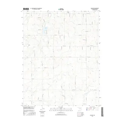
2016 Map of Logan NW
USGS Topo · Published 2016About this map
Evans Chambers Lake serves as a central hydrological feature in this corner of the Oklahoma Panhandle, where the high plains are deeply dissected by a network of seasonal drainages and hollows. The landscape is defined by the winding paths of Kiowa Creek and Sand Creek, which carve through the terrain alongside an extensive system of survey-aligned roads such as Ew 20 and Ew 25. This survey highlights the region's long-standing rural foundations, preserved through sites like Highland Chapel Cem and Clear Lake Cem. An Oilfield in the northwest quadrant points to the subterranean economy that exists alongside traditional ranching and agricultural land use. The map’s detailed labeling of numerous hollows, from Hollow E0200 to Hollow E0263, reveals the intricate natural drainage patterns that have dictated local land boundaries for generations.
Find a feature on this map
34 named features on this map. Tap any name to fly to it.
Don’t see what you’re looking for? This feature index may not catch every label — zoom into the map to look around manually.
Map Details
Editions of this 2016 Logan NW Map
This is the sole edition of this map. No revisions or reprints were ever made.
Other maps of this area

1954 · Perryton
USGS Topo · 1:250,000

1958 · Perryton
USGS Topo · 1:250,000

1970 · Knowles
USGS Topo · 1:24,000

1970 · Gate
USGS Topo · 1:24,000

1970 · Mocane SE
USGS Topo · 1:24,000

1971 · Clear Lake
USGS Topo · 1:24,000

1971 · Clear Lake SE
USGS Topo · 1:24,000

1971 · Logan
USGS Topo · 1:24,000

1971 · Logan NW
USGS Topo · 1:24,000

1971 · Logan NE
USGS Topo · 1:24,000