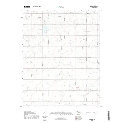
2018 Map of Logan NW
USGS Topo · Published 2018About this map
Evans Chambers Lake, also identified on the sheet as Lake Evans Chambers, serves as a primary hydrological focal point in this section of the Oklahoma Panhandle. This High Plains landscape is defined by the drainage patterns of Kiowa Creek, Sand Cr, and Mexico Cr, which carve subtle relief into the surrounding terrain. The presence of an Oilfield in the northwest corner highlights the region's long-standing connection to energy extraction.
Find a feature on this map
13 named features on this map. Tap any name to fly to it.
Don’t see what you’re looking for? This feature index may not catch every label — zoom into the map to look around manually.
Map Details
Editions of this 2018 Logan NW Map
This is the sole edition of this map. No revisions or reprints were ever made.
Other maps of this area

1954 · Perryton
USGS Topo · 1:250,000

1958 · Perryton
USGS Topo · 1:250,000

1970 · Knowles
USGS Topo · 1:24,000

1970 · Gate
USGS Topo · 1:24,000

1970 · Mocane SE
USGS Topo · 1:24,000

1971 · Clear Lake
USGS Topo · 1:24,000

1971 · Clear Lake SE
USGS Topo · 1:24,000

1971 · Logan
USGS Topo · 1:24,000

1971 · Logan NW
USGS Topo · 1:24,000

1971 · Logan NE
USGS Topo · 1:24,000