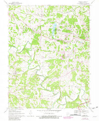
1968 Map of Lohman
USGS Topo · Published 1982About this map
Lohman and Elston anchor this late 1960s study of central Missouri, documenting a landscape shaped by creek systems and the Missouri Pacific railroad. The mapping includes 1981 photorevisions that reveal the suburban expansion of Apache Flats and development around Binder State Memorial Park. While modern infrastructure like a Substation and Tower appear, the map remains a primary source for genealogists tracing family histories through the numerous rural burial grounds, including Old Catholic Cem, Stone Cem, and Wilkerson Cem.
Find a feature on this map
46 named features on this map. Tap any name to fly to it.
Don’t see what you’re looking for? This feature index may not catch every label — zoom into the map to look around manually.
Map Details
Editions of this 1968 Lohman Map
3 editions found
Other maps of this area

1886 · Jefferson City
USGS Topo · 1:125,000

1888 · Tuscumbia
USGS Topo · 1:125,000

1894 · Tuscumbia
USGS Topo · 1:125,000

1894 · Jefferson City
USGS Topo · 1:125,000

1939 · Jefferson City
USGS Topo · 1:24,000

1939 · Jefferson City
USGS Topo · 1:62,500

1942 · Jefferson City
USGS Topo · 1:62,500

1947 · Jefferson City
USGS Topo · 1:250,000

1948 · Centertown
USGS Topo · 1:62,500

1948 · Meta
USGS Topo · 1:62,500