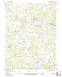
1968 Map of Lohman
USGS Topo · Published 1986About this map
The North Moreau Creek carves a winding path through this portion of Cole County, anchoring a landscape defined by small rural settlements and established family cemeteries. Significant 1980s photorevisions highlight the expansion of Apache Flats and development near the Country Club as suburban growth began to press westward from the state capital. Earlier 1968 surveying detail remains for the village of Lohman, showing the rail siding along the Missouri Pacific and proximity to St Pauls Ch.
Find a feature on this map
50 named features on this map. Tap any name to fly to it.
Don’t see what you’re looking for? This feature index may not catch every label — zoom into the map to look around manually.
Map Details
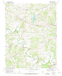
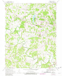
Editions of this 1968 Lohman Map
3 editions found
Other maps of this area

1886 · Jefferson City
USGS Topo · 1:125,000

1888 · Tuscumbia
USGS Topo · 1:125,000

1894 · Tuscumbia
USGS Topo · 1:125,000

1894 · Jefferson City
USGS Topo · 1:125,000

1939 · Jefferson City
USGS Topo · 1:24,000

1939 · Jefferson City
USGS Topo · 1:62,500

1942 · Jefferson City
USGS Topo · 1:62,500

1947 · Jefferson City
USGS Topo · 1:250,000

1948 · Centertown
USGS Topo · 1:62,500

1948 · Meta
USGS Topo · 1:62,500