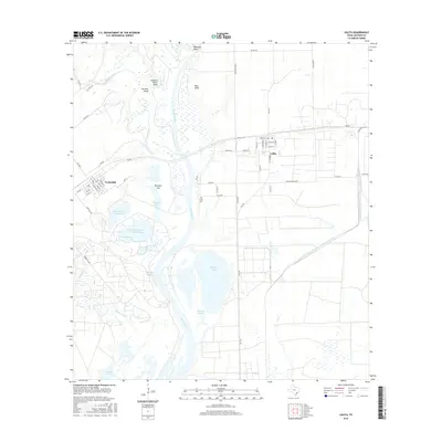
2016 Map of Lolita
USGS Topo · Published 2016About this map
The confluence of the Lavaca River and Navidad River dominates this coastal prairie landscape of Jackson County, where river bends and low-lying marshes define the local geography. Significant terrain features such as Red Bluff, Old Red Bluff, and the sharp curve of Buzzard Roost Bend illustrate the meandering nature of these waterways before they move toward the coast. The neighboring settlements of Vanderbilt and Lolita serve as the primary hubs, with their residential grids and the nearby Lolita Cem providing anchor points for genealogical study.
Find a feature on this map
63 named features on this map. Tap any name to fly to it.
Don’t see what you’re looking for? This feature index may not catch every label — zoom into the map to look around manually.
Map Details
Editions of this 2016 Lolita Map
This is the sole edition of this map. No revisions or reprints were ever made.
Other maps of this area

1952 · Francitas NW
USGS Topo · 1:24,000

1952 · Manson
USGS Topo · 1:24,000

1952 · Point Comfort
USGS Topo · 1:24,000

1952 · Olivia
USGS Topo · 1:24,000

1952 · Edna
USGS Topo · 1:24,000

1952 · Kamey
USGS Topo · 1:24,000

1952 · La Salle
USGS Topo · 1:24,000

1952 · La Ward
USGS Topo · 1:24,000

1952 · Lolita
USGS Topo · 1:24,000

1953 · Beeville
USGS Topo · 1:250,000