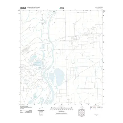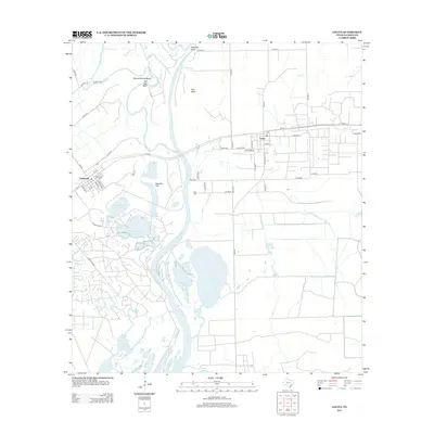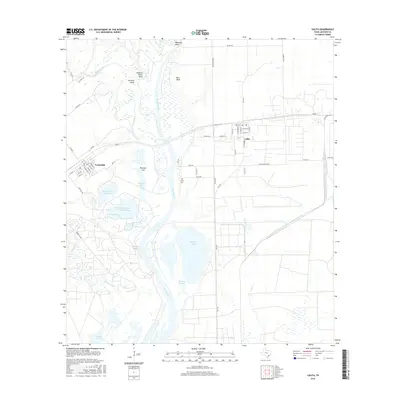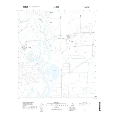
2022 Map of Lolita
USGS Topo · Published 2022About this map
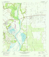
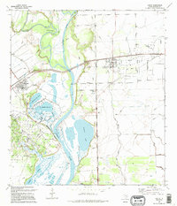
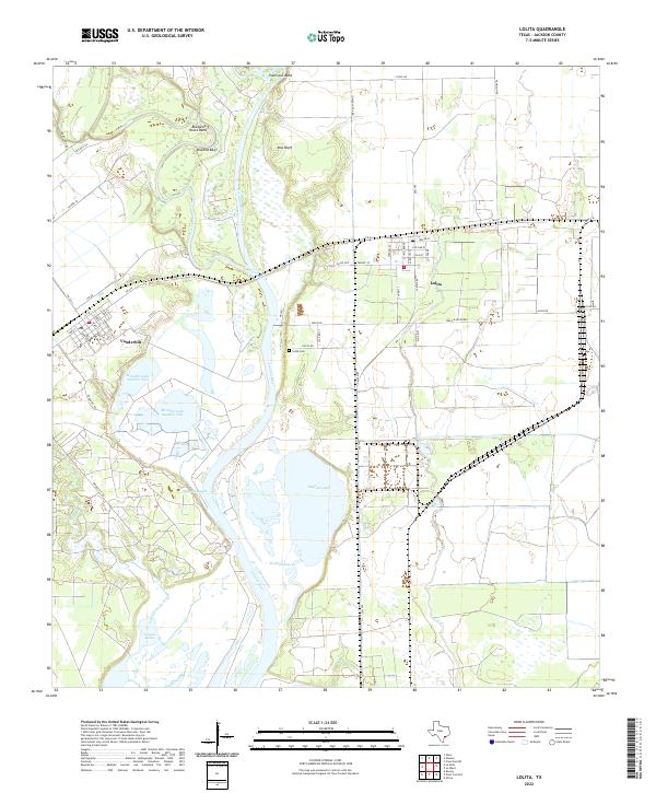
The convergence of the Lavaca River and Navidad River dominates this coastal Texas landscape, where the waterways twist through numerous oxbows and bends. Significant geographical landmarks include Buzzard Roost Bend and Palmetto Bend, alongside the prominent heights of Red Bluff and Old Red Bluff. These rivers feed into a complex system of bayous and wetlands, including Menefee Bayou and Redfish Bayou, which sustain larger water bodies like Redfish Lake, Menefee Lake Number One, and Menefee Lake Number Two.
Find a feature on this map
60 named features on this map. Tap any name to fly to it.
Don’t see what you’re looking for? This feature index may not catch every label — zoom into the map to look around manually.
Map Details
Editions of this 2022 Lolita Map
This is the sole edition of this map. No revisions or reprints were ever made.
Historical Maps of Lolita Through Time
7 maps found