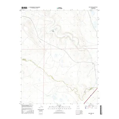
2017 Map of Loma Parda
USGS Topo · Published 2017About this map
Loma Parda sits at the heart of this high-plains landscape, where the Mora River winds through a complex system of traditional water management. The agricultural heritage of the area is visible through features like the Loma Parda Community Ditch and the Upper Clyde Ditch, which trace the contours of the river valley. To the west, the path of the Santa Fe Trl cuts across the terrain, marking the historic movement of people and goods through the region. This 2017 survey also documents the confluence of several water systems, including Arroyo Jara and the Sapello River, as they cross the boundary between Mora Co and San Miguel Co. Near the eastern edge, Watrous Cem and Kroenig Cem provide specific points of interest for genealogists and those tracing the settlement history of these riverside communities.
Find a feature on this map
12 named features on this map. Tap any name to fly to it.
Don’t see what you’re looking for? This feature index may not catch every label — zoom into the map to look around manually.
Map Details
Editions of this 2017 Loma Parda Map
This is the sole edition of this map. No revisions or reprints were ever made.
Other maps of this area

1889 · Las Vegas
USGS Topo · 1:125,000

1891 · Las Vegas
USGS Topo · 1:125,000

1892 · Watrous
USGS Topo · 1:125,000

1893 · Las Vegas
USGS Topo · 1:125,000

1894 · Watrous
USGS Topo · 1:125,000

1954 · Santa Fe
USGS Topo · 1:250,000

1958 · Santa Fe
USGS Topo · 1:250,000

1963 · Lake Isabel
USGS Topo · 1:24,000

1963 · Fort Union
USGS Topo · 1:24,000

1963 · Rainsville
USGS Topo · 1:24,000