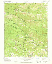
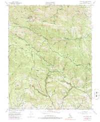
1955 Map of Loma Prieta
USGS Topo · Published 1969About this map
Loma Prieta dominates the northern skyline of this mid-century survey, standing as a critical communications hub with its Lookout Sta, Microwave Sta, and Television Relay Sta. The landscape is a complex network of deep canyons and ridges within the Santa Cruz Mountains, where the border between Santa Clara Co and Santa Cruz Co winds through the terrain. Evidence of early twentieth-century rural life is scattered throughout the valleys, including the Sveadal settlement and the Eureka Sch (Aband) near the intersection of Eureka Canyon Road and Rider Road.
Find a feature on this map
61 named features on this map. Tap any name to fly to it.
Don’t see what you’re looking for? This feature index may not catch every label — zoom into the map to look around manually.
Map Details
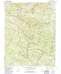
Editions of this 1955 Loma Prieta Map
6 editions found
Other maps of this area

1912 · Capitola
USGS Topo · 1:62,500

1914 · Capitola
USGS Topo · 1:62,500

1915 · San Juan Bautista
USGS Topo · 1:48,000

1916 · New Almaden
USGS Topo · 1:48,000

1917 · Morgan Hill
USGS Topo · 1:62,500

1917 · San Juan Bautista
USGS Topo · 1:62,500

1919 · New Almaden
USGS Topo · 1:62,500

1939 · Morgan Hill
USGS Topo · 1:62,500

1939 · San Juan Bautista
USGS Topo · 1:62,500

1940 · San Juan Bautista
USGS Topo · 1:62,500