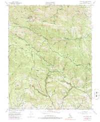
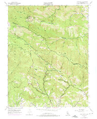
1955 Map of Loma Prieta
USGS Topo · Published 1986About this map
The Santa Cruz Mountains dominate this mid-century survey, defined by the geological seam of the San Andreas Rift Zone. The landscape is a mix of high peaks and industrial echoes, where the prominence of Loma Prieta stands near modern infrastructure like a Microwave Relay Sta and a Television Relay Sta. The terrain is deeply incised by canyons and gulches, reflecting a history of timber and small-scale resource extraction, notably at Shingle Mill Gulch and a namesake Shaft located in Swanson Canyon.
Find a feature on this map
58 named features on this map. Tap any name to fly to it.
Don’t see what you’re looking for? This feature index may not catch every label — zoom into the map to look around manually.
Map Details
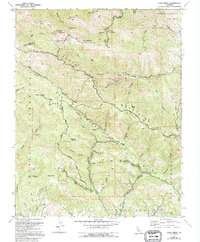
Editions of this 1955 Loma Prieta Map
6 editions found
Other maps of this area

1912 · Capitola
USGS Topo · 1:62,500

1914 · Capitola
USGS Topo · 1:62,500

1915 · San Juan Bautista
USGS Topo · 1:48,000

1916 · New Almaden
USGS Topo · 1:48,000

1917 · Morgan Hill
USGS Topo · 1:62,500

1917 · San Juan Bautista
USGS Topo · 1:62,500

1919 · New Almaden
USGS Topo · 1:62,500

1939 · Morgan Hill
USGS Topo · 1:62,500

1939 · San Juan Bautista
USGS Topo · 1:62,500

1940 · San Juan Bautista
USGS Topo · 1:62,500