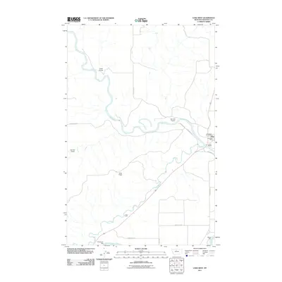
2011 Map of Loma West
USGS Topo · Published 2011About this map
The Marias River meanders sharply through Chouteau County in this 2011 survey, converging with the Teton River just before both join the mighty Missouri River in the southern reaches of the sheet. This confluence was a critical junction for early navigation and land travel, marked here by the small community of Loma and its essential services like the Loma Post Office and Loma Rural Vol Fire Dept. The terrain is defined by dramatic coulees and high benchlands, such as Fisher Coulee and Rowe Bench Rd, which speak to the high-plains geography of North-Central Montana.
Find a feature on this map
19 named features on this map. Tap any name to fly to it.
Don’t see what you’re looking for? This feature index may not catch every label — zoom into the map to look around manually.
Map Details
Editions of this 2011 Loma West Map
This is the sole edition of this map. No revisions or reprints were ever made.
Other maps of this area

1890 · Fort Benton
USGS Topo · 1:250,000

1892 · Fort Benton
USGS Topo · 1:250,000

1897 · Fort Benton
USGS Topo · 1:250,000

1919 · Big Sandy
USGS Topo · 1:125,000

1953 · Rocky Lake
USGS Topo · 1:24,000

1953 · Loma East
USGS Topo · 1:24,000

1953 · O'Hanlon Coulee
USGS Topo · 1:24,000

1953 · Loma West
USGS Topo · 1:24,000

1954 · Great Falls
USGS Topo · 1:250,000

1954 · Fort Benton
USGS Topo · 1:24,000