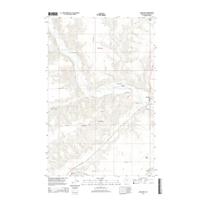
2014 Map of Loma West
USGS Topo · Published 2014About this map
The confluence of three major waterways—the Marias River, Teton River, and the Missouri River—dominates this northern Montana landscape. Centered on the settlement of Loma, the area is defined by a complex network of coulees and high plateaus. The topography reveals significant landforms such as the Vimy Ridge and Rowe Bench, alongside the distinct Crocon du Nez at the southern bend of the Missouri. Modern infrastructure, including Us-87 and the Loma Bridge, provides the primary transit through the river valleys. This document captures the transition from the high plains down into the carved river breaks, highlighting local landmarks like Fisher Coulee and the Brule Bar along the riverbanks. The township boundaries of t26n r9e and t25n r9e provide a clear cadastral framework for researchers interested in the land divisions of Chouteau County during the early 21st century.
Find a feature on this map
23 named features on this map. Tap any name to fly to it.
Don’t see what you’re looking for? This feature index may not catch every label — zoom into the map to look around manually.
Map Details
Editions of this 2014 Loma West Map
This is the sole edition of this map. No revisions or reprints were ever made.
Other maps of this area

1890 · Fort Benton
USGS Topo · 1:250,000

1892 · Fort Benton
USGS Topo · 1:250,000

1897 · Fort Benton
USGS Topo · 1:250,000

1919 · Big Sandy
USGS Topo · 1:125,000

1953 · Rocky Lake
USGS Topo · 1:24,000

1953 · Loma East
USGS Topo · 1:24,000

1953 · O'Hanlon Coulee
USGS Topo · 1:24,000

1953 · Loma West
USGS Topo · 1:24,000

1954 · Great Falls
USGS Topo · 1:250,000

1954 · Fort Benton
USGS Topo · 1:24,000