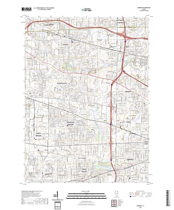
2024 Map of Lombard
USGS Topo · Published 2024About this map
The East Branch Du Page River winds through this heavily developed corridor of the Chicago suburbs, anchoring a landscape where historical burial grounds and modern residential tracts sit side-by-side. The map reveals the intricate street networks of Lombard, Glen Ellyn, and Glendale Heights, showing how these communities have matured around regional water features like Lake Ellyn and Lake Kadijah. For local historians and genealogists, the density of religious landmarks is remarkable, including the Saint Stephens German Catholic Cem in Gretna and the Saint Andrew Ukrainian Orthodox Cem. The transition from old crossroads to major thoroughfares is evident along Army Trail Rd and Irving Park Rd, marking the shift from the area's agricultural past to its contemporary identity as a primary residential hub.
Find a feature on this map
74 named features on this map. Tap any name to fly to it.
Don’t see what you’re looking for? This feature index may not catch every label — zoom into the map to look around manually.
Map Details
Editions of this 2024 Lombard Map
This is the sole edition of this map. No revisions or reprints were ever made.
Other maps of this area

1891 · Riverside
USGS Topo · 1:62,500

1893 · Riverside
USGS Topo · 1:62,500

1900 · Riverside
USGS Topo · 1:62,500

1900 · Highwood
USGS Topo · 1:62,500

1901 · Riverside
USGS Topo · 1:62,500

1908 · Wheaton
USGS Topo · 1:62,500

1923 · Barrington
USGS Topo · 1:62,500
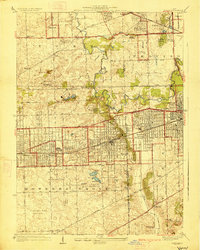
1927 · Hinsdale
USGS Topo · 1:24,000

1927 · Arlington Heights
USGS Topo · 1:24,000

1928 · Elmhurst
USGS Topo · 1:24,000