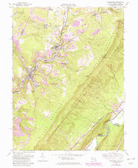
1950 Map of Lonaconing
USGS Topo · Published 1982About this map
Georges Creek carves a deep industrial corridor through the heart of Allegany County, serving as the primary artery for settlement and transport during the mid-20th century. The landscape is defined by the dense concentration of mining communities such as Lonaconing, Midland, and Borden Shaft, which are linked by the Western Maryland railroad. These settlements are interspersed with localized family and religious landmarks, including St Marys Cem and Neff Cem, reflecting the deep-rooted genealogical history of the coal region.
Find a feature on this map
66 named features on this map. Tap any name to fly to it.
Don’t see what you’re looking for? This feature index may not catch every label — zoom into the map to look around manually.
Map Details
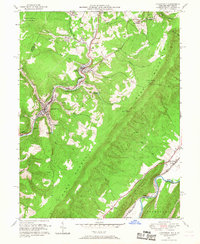
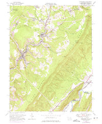
Editions of this 1950 Lonaconing Map
3 editions found
Other maps of this area

1891 · Romney
USGS Topo · 1:125,000

1895 · Piedmont
USGS Topo · 1:125,000

1898 · Frostburg
USGS Topo · 1:62,500

1899 · Grantsville
USGS Topo · 1:62,500

1901 · Frostburg
USGS Topo · 1:62,500

1904 · Grantsville
USGS Topo · 1:62,500

1908 · Frostburg
USGS Topo · 1:62,500

1919 · Elk Garden
USGS Topo · 1:48,000

1920 · Elk Garden
USGS Topo · 1:48,000

1920 · Keyser
USGS Topo · 1:62,500