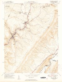
1951 Map of Lonaconing
USGS Topo · Published 1951About this map
Georges Creek carves a deep industrial corridor through the heart of the Allegany County coalfields, serving as the primary artery for settlement and transport during the early 1950s. The landscape is defined by the heavy presence of the Cumberland and Pennsylvania RR and the Western Maryland RR, which link numerous mining hamlets like Ocean, Midland, and Lonaconing. The topography reveals the shifting nature of the region's economy, as traditional subsurface operations like the Borden Shaft are accompanied by numerous Strip Mines that have begun to alter the contours of the surrounding ridges.
Find a feature on this map
69 named features on this map. Tap any name to fly to it.
Don’t see what you’re looking for? This feature index may not catch every label — zoom into the map to look around manually.
Map Details
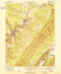
Editions of this 1951 Lonaconing Map
2 editions found
Other maps of this area

1891 · Romney
USGS Topo · 1:125,000

1895 · Piedmont
USGS Topo · 1:125,000

1898 · Frostburg
USGS Topo · 1:62,500

1899 · Grantsville
USGS Topo · 1:62,500

1901 · Frostburg
USGS Topo · 1:62,500

1904 · Grantsville
USGS Topo · 1:62,500

1908 · Frostburg
USGS Topo · 1:62,500

1919 · Elk Garden
USGS Topo · 1:48,000

1920 · Elk Garden
USGS Topo · 1:48,000

1920 · Keyser
USGS Topo · 1:62,500