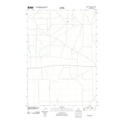
2010 Map of Lone Butte
USGS Topo · Published 2010About this map
Lone Butte rises as a distinct landmark within this high-desert landscape of eastern Idaho, situated amidst a network of drainage ways and access roads. The hydrology of the area is primarily defined by the meandering course of Cottonwood Creek, which dominates the central and southern portions of the sheet, and Medicine Lodge Creek along the western edge. This 2010 survey illustrates the modern transportation patterns of Clark County, where long-established paths like Medicine Rd and Beaver Creek Rd intersect with the more contemporary arterial of State Route 22. The rural character is further detailed by named local routes such as Small Rd and Webster Ln, providing a clear record of the area's infrastructure and land use at the beginning of the decade.
Find a feature on this map
7 named features on this map. Tap any name to fly to it.
Don’t see what you’re looking for? This feature index may not catch every label — zoom into the map to look around manually.
Map Details
Editions of this 2010 Lone Butte Map
This is the sole edition of this map. No revisions or reprints were ever made.
Other maps of this area

1955 · Dubois
USGS Topo · 1:250,000

1957 · Paul Reservoir
USGS Topo · 1:62,500

1958 · Dubois
USGS Topo · 1:250,000

1964 · Dubois NW
USGS Topo · 1:24,000

1964 · Lone Butte
USGS Topo · 1:24,000

1964 · Small
USGS Topo · 1:24,000

1964 · Cedar Butte SW
USGS Topo · 1:24,000

1964 · Camas
USGS Topo · 1:24,000

1964 · Cedar Butte SE
USGS Topo · 1:24,000

1972 · Spencer South
USGS Topo · 1:24,000