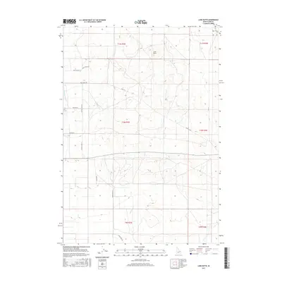
2017 Map of Lone Butte
USGS Topo · Published 2017About this map
Medicine Lodge Cr and Cottonwood Cr define the drainage patterns of this high-desert landscape in Clark County. The topography is dominated by the volcanic rise of Lone Butte, a prominent landmark that punctuates the sagebrush-covered plains. The map reveals a sparse network of ranching roads and tracks, illustrating the expansive nature of rural land use in eastern Idaho. Several thoroughfares carry local family or functional names, such as Small Ranch Rd and Small School Rd, which hint at the region’s agricultural roots and the historical placement of essential community services. More modern thoroughfares like Beaver Creek Rd and Katie's Cutoff traverse the terrain, showing how later transportation routes adapted to the existing contours and watercourses of the high mountain desert.
Find a feature on this map
21 named features on this map. Tap any name to fly to it.
Don’t see what you’re looking for? This feature index may not catch every label — zoom into the map to look around manually.
Map Details
Editions of this 2017 Lone Butte Map
This is the sole edition of this map. No revisions or reprints were ever made.
Other maps of this area

1955 · Dubois
USGS Topo · 1:250,000

1957 · Paul Reservoir
USGS Topo · 1:62,500

1958 · Dubois
USGS Topo · 1:250,000

1964 · Dubois NW
USGS Topo · 1:24,000

1964 · Lone Butte
USGS Topo · 1:24,000

1964 · Small
USGS Topo · 1:24,000

1964 · Cedar Butte SW
USGS Topo · 1:24,000

1964 · Camas
USGS Topo · 1:24,000

1964 · Cedar Butte SE
USGS Topo · 1:24,000

1972 · Spencer South
USGS Topo · 1:24,000