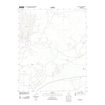
2012 Map of Lone Butte
USGS Topo · Published 2012About this map
China Lake dominates the northwest corner of this California desert landscape, its expansive basin defining the local geography alongside the seasonal waters of Lark Seep. The map details a transition from the salt flats of the Salt Wells Valley to more elevated terrain marked by the namesake Lone Butte and the Skytop area. Human infrastructure is largely utilitarian, shaped by the demands of the arid environment as evidenced by the prominent Trona Water Pipeline cutting across the landscape. Transportation is anchored by Trona Rd and E Bowman Rd, which provide access to this corner of Kern County. Researchers will find interest in localized identifiers like the Landmark Letter, illustrating how specific points of reference are utilized in an otherwise open and sparse desert expanse during the early 21st century.
Find a feature on this map
9 named features on this map. Tap any name to fly to it.
Don’t see what you’re looking for? This feature index may not catch every label — zoom into the map to look around manually.
Map Details
Editions of this 2012 Lone Butte Map
This is the sole edition of this map. No revisions or reprints were ever made.
Other maps of this area

1915 · Searles Lake
USGS Topo · 1:250,000

1947 · Trona
USGS Topo · 1:250,000

1948 · Trona
USGS Topo · 1:250,000

1949 · Trona
USGS Topo · 1:62,500

1949 · Searles Lake
USGS Topo · 1:62,500

1950 · Searles Lake
USGS Topo · 1:62,500

1950 · Trona
USGS Topo · 1:62,500

1953 · Mountain Springs Canyon
USGS Topo · 1:62,500

1953 · Ridgecrest
USGS Topo · 1:62,500

1953 · Trona
USGS Topo · 1:250,000