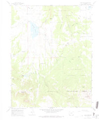
1964 Map of Lone Cone
USGS Topo · Published 1975About this map
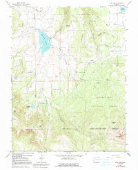
High-country ranching and water management define this mid-1960s survey of the southwestern Colorado landscape where the Uncompahgre National Forest meets the San Juan National Forest. The map captures a specialized seasonal economy, documented through numerous family-named outposts and seasonal dwellings such as Redd Ranchs Summer Camp, Barrett Cow Camp, and Davis Sheep Camp. These sites, alongside landmarks like Scotties Cabin, reflect the historical pattern of moving livestock between lower pastures and high-altitude summer ranges.
Find a feature on this map
43 named features on this map. Tap any name to fly to it.
Don’t see what you’re looking for? This feature index may not catch every label — zoom into the map to look around manually.
Map Details
Editions of this 1964 Lone Cone Map
5 editions found
Other maps of this area

1956 · Cortez
USGS Topo · 1:250,000

1956 · Moab
USGS Topo · 1:250,000

1958 · Cortez
USGS Topo · 1:250,000

1959 · Cortez
USGS Topo · 1:250,000

1959 · Moab
USGS Topo · 1:250,000

1960 · Moab
USGS Topo · 1:250,000

1962 · Moab
USGS Topo · 1:250,000

1962 · Cortez
USGS Topo · 1:250,000

1964 · Moab
USGS Topo · 1:250,000
1964 · Groundhog Reservoir
USGS Topo · 1:24,000