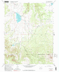
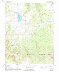
1964 Map of Lone Cone
USGS Topo · Published 1991About this map
Lone Cone dominates the southern skyline of this high-elevation landscape along the border of San Miguel and Dolores counties. The 1964 survey documents a region defined by seasonal ranching and complex water management within the Uncompahgre National Forest. A network of ditches and reservoirs, including Miramonte Reservoir and the smaller Lilylands Reservoir, supports agricultural activities on the lower reaches of Greager Flats and Nellies Flats.
Find a feature on this map
32 named features on this map. Tap any name to fly to it.
Don’t see what you’re looking for? This feature index may not catch every label — zoom into the map to look around manually.
Map Details
Editions of this 1964 Lone Cone Map
5 editions found
Other maps of this area

1956 · Cortez
USGS Topo · 1:250,000

1956 · Moab
USGS Topo · 1:250,000

1958 · Cortez
USGS Topo · 1:250,000

1959 · Cortez
USGS Topo · 1:250,000

1959 · Moab
USGS Topo · 1:250,000

1960 · Moab
USGS Topo · 1:250,000

1962 · Moab
USGS Topo · 1:250,000

1962 · Cortez
USGS Topo · 1:250,000

1964 · Moab
USGS Topo · 1:250,000
1964 · Groundhog Reservoir
USGS Topo · 1:24,000